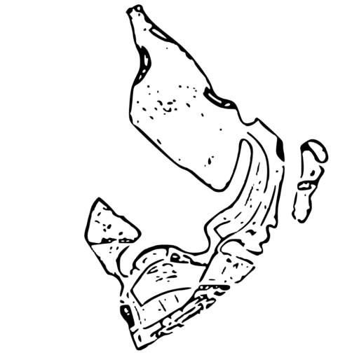
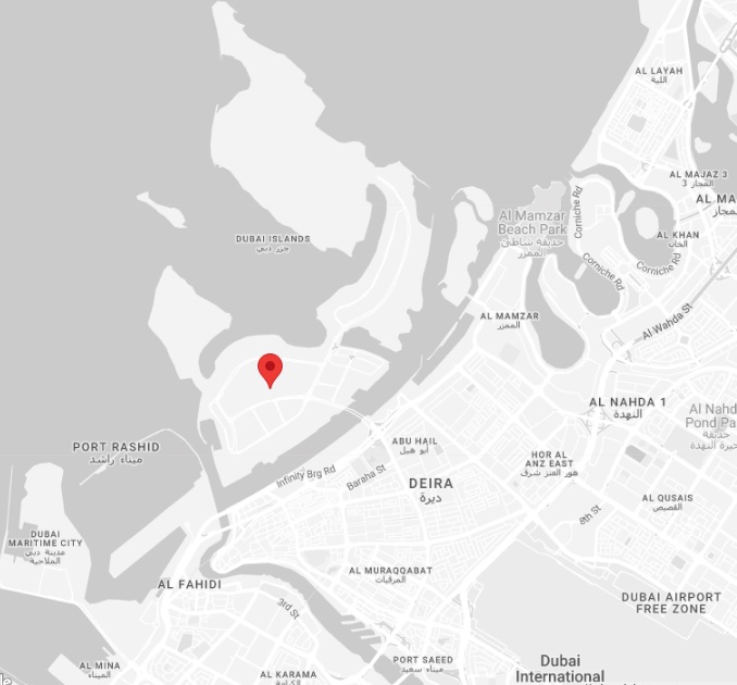
The Dubai Islands location off the coast of Deira in northern Dubai, providing a waterfront setting close to the city’s historic centre and established districts around Dubai Creek.
The islands are positioned approximately 10 kilometres from Dubai International Airport and 15 kilometres from Downtown Dubai. Road connections link the development with Deira and the wider city, with further mainland access planned through three bridges connected to the Al Shindagha Corridor.
Dubai Islands Location Map
Access and Connectivity
Dubai Islands can be reached from mainland Dubai by road and sea, with further transport infrastructure being delivered as the wider development progresses. Existing road connections provide access through Deira, while the islands are linked internally by bridges.
Future connectivity will be strengthened by three direct bridge connections linked to the Al Shindagha Corridor, improving access between Dubai Islands and the wider road network. Marine access is also incorporated into the masterplan through marinas and waterfront transport connections.
10 mins
Gold Souq Metro Station
20 mins
Dubai International Airport
22 mins
Dubai Frame
24 mins
Dubai World Trade Centre
24 mins
Downtown Dubai
Nearby Areas and Landmarks
Dubai Islands sits close to several established parts of northern and central Dubai. Deira and the historic Dubai Creek area are immediately accessible, while Port Rashid and Dubai Maritime City lie further along the coastline.
Nearby destinations include the Dubai Gold Souk, Al Mamzar Beach Park and the traditional waterfront districts around Dubai Creek and Al Seef. Larger retail and city-centre destinations such as BurJuman and Dubai Mall are also accessible by road.
Deira & Dubai Creek
Historic districts, souks and established waterfront areas.
Port Rashid
Major waterfront district southwest of Dubai Islands.
Dubai Gold Souk
One of Deira’s best-known retail and visitor destinations.
Al Mamzar Beach Park
Large beachfront park north of the development.
Schools and Education
Families living at Dubai Islands can access a number of established schools across Deira, Al Nahda and Al Qusais. Options range from schools close to the northern Dubai coastline to larger international schools across the wider city.
Nearby options include:
- The Elite English School – Al Wuheida, Deira
- Pristine Private School – Al Nahda 2
- The Apple International School – Al Qusais 1
Hospitals and Healthcare
Dubai Islands is close to established healthcare facilities across Deira, Abu Hail and Al Qusais. Dubai Hospital is located on Al Khaleej Street in Deira and provides 24/7 emergency care, while Canadian Specialist Hospital operates from Abu Hail and Aster Hospital has a major facility in Al Qusais.
Nearby options include:
- Dubai Hospital – Deira
- Canadian Specialist Hospital – Abu Hail
- Aster Hospital – Al Qusais